"Spring-ing into 2012 with New Trails & Signs!" (pictures)
 After spending the week with great weather of which time we began to stencil, stain, urethane and paint trail signs the weekend rolled around. Most of the snow had melted that is until a couple inches fell early Saturday morning. Sunday looked to be a beautiful day and sure enough the morning proved to be promising. We packed up a lunch and our tools and headed for MMR to continue working on trails and to put up two of the signs we finished.
 We arrived at the parking lot to find two vehicles there. I drove up to the North trail where met a man starting up North trail and said he was headed for Beauty Knob and Ledge to a geo-cache. We were taken back by this, we hadn't even finished the trail yet and already it's getting well known, my how news travel when your plugged into the Social network!We headed up Burrows Farm trail to put one of the new signs up for Moose Mountains Trail.
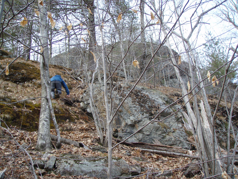
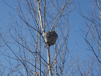 After doing this we headed for Phoebes Nable Mt. to affix the new summit sign and work on the new section of trail on the South-East side of the mountain. Before reaching the field we noticed deer tracks and Scott noticed what looked like drops of blood all over the place where ever the deer went. We wondered what had happened to it! We passed through the field and at the Phoebes Nable Mt. trail junction Scott noticed a bee/hornet nest in the birch trees. This is the second one of these things he's spotted on the reservation! After some pics and looking over to the ledge on Moose Mountains we need to find sometime, we made the steep climb to the Phoebes Nable summit.
 As we went to put the sign up I went to get the socket out of my pocket but couldn't find it. After some fumbling and searching it donned on me I had left it sitting on the ground back where we put the last sign up. Argh!! So we headed back down to get it. Sure enough it was sitting right there! We made the hike back up and began screwing the sign onto the tree. In the process the ratchet slipped out of Scott's hand and hit him smack-dab in the forehead. It looked like it hurt and sure enough it left a bruise and small bump there! We weren't having much luck today on this mountain!
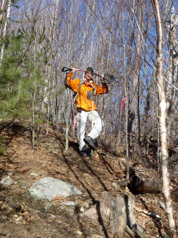
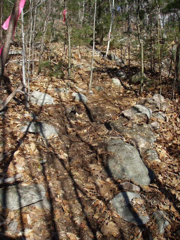
 Now we began cutting out the trail from just below the summit area and joining onto an old skid road and logging road. We worked our way down to the junction we had left off at last time. Then headed down another skid road we had found last time that brings us back down to the bridge just before North Trail, which we will cut and mark sometime and will be naming it Phoebes Link. We jumped in the truck and made the arduous drive up the snowy North road to it's large upper landing. Once here we ate our much needed lunch.
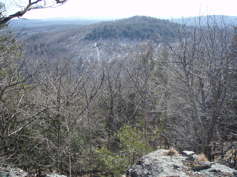
 Re-energized we headed up the new Beauty Knob trail. I noticed large animal prints in the snow which I think are the ones mentioned on the geo-cache right up. They stated they saw bear tracks. These looked like bob cat tracks to me though. Cool! On the trail we began touching areas up we had cut a couple weeks prior and made our way up to the knob and ledge. There was still plenty of snow on the ground so there would be no ground work done today. We took in the view at the ledge and listened as some ATV's made there way down the roads. We then thought we we explore the area some more and look for another ledge we had spotted from Phoebes Nable Mt. trail. Passing by boulders we soon came to another knob area and below a small ledge with an uninhibited view of Phoebes Nable Mt. We named the area Boulder Knob and Ledge and plan on adding this to the trail at some point! Having spent 6 hours here today we were sore and tired and ready to head back to the truck and head home. A great day to get work done and it has been such fun improving this reservation for everyone's enjoyment :) More trail signs to come soon and blazes will be up on the new trails soon too!


 As we went to put the sign up I went to get the socket out of my pocket but couldn't find it. After some fumbling and searching it donned on me I had left it sitting on the ground back where we put the last sign up. Argh!! So we headed back down to get it. Sure enough it was sitting right there! We made the hike back up and began screwing the sign onto the tree. In the process the ratchet slipped out of Scott's hand and hit him smack-dab in the forehead. It looked like it hurt and sure enough it left a bruise and small bump there! We weren't having much luck today on this mountain!